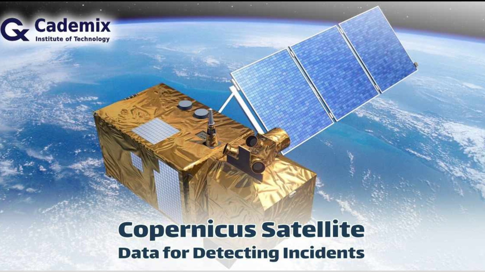
Estimated Reading Time: 7 minutes Satellite imagery can provide valuable information in various situations, including detecting incidents like helicopter crashes. This tutorial will guide you through using Copernicus satellite data to analyze and detect such events. While some steps can be done manually, others, like large-scale image comparison, require systematic and automated methods using programming.
Cademix Institute of Technology, Vienna, Austria | +43 650 967 7080 | info@cademix.org


Cademix Institute of Technology
Job seekers Portal for Career Acceleration, Continuing Education, European Job Market
